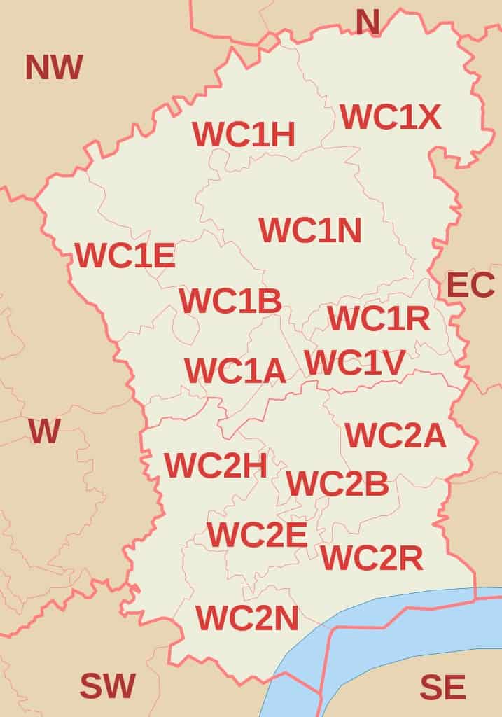
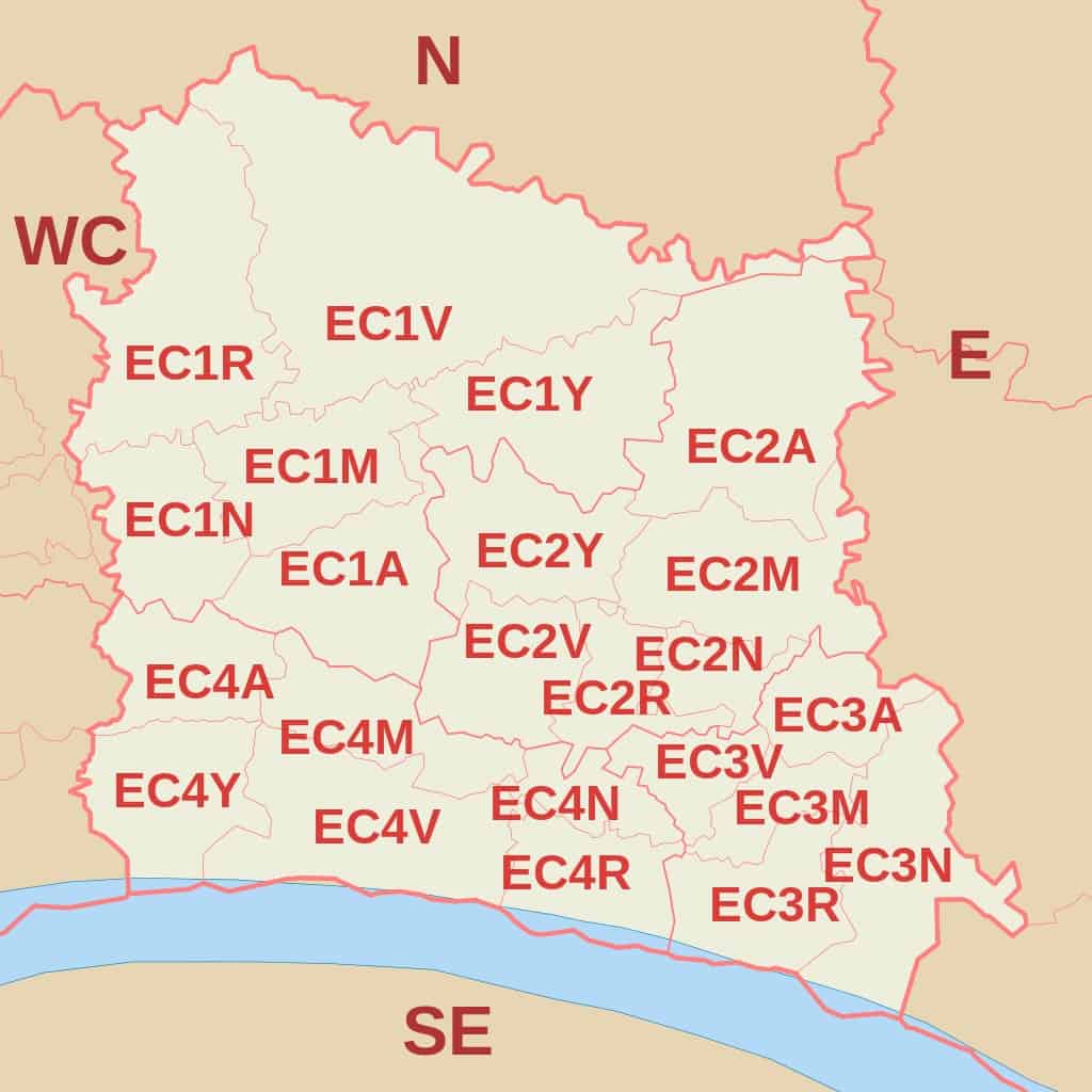
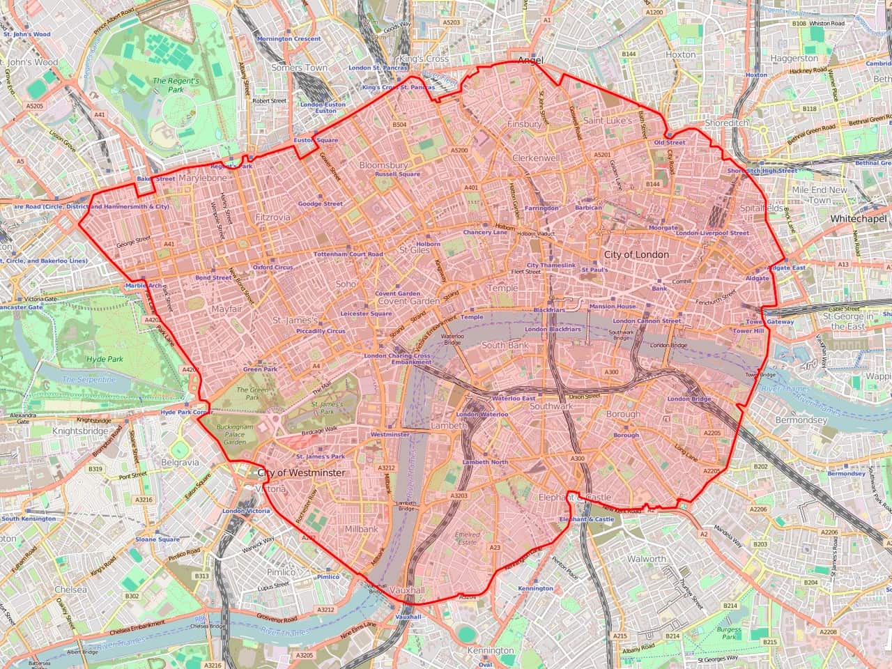
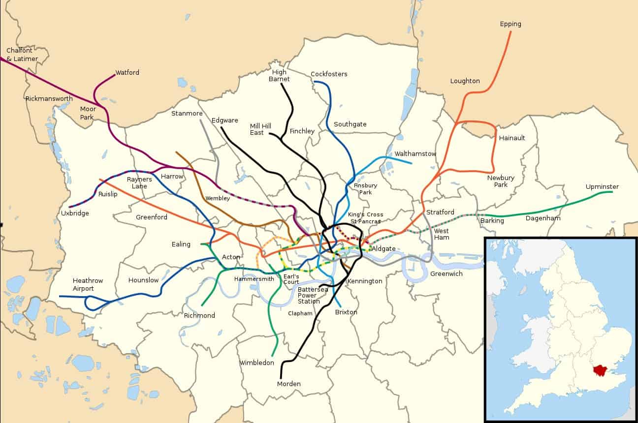
Map

WC Postcode Area Map

West Central London Postal Codes and Map

The WC or West Central London postcode area includes 15 postcode districts and 46 postcode sectors. It includes some areas of the City of Westminster, the City of London, the London Borough of Camden, and the London Borough of Islington. In total, it has 7,424 total postcodes and 2,610 live postcodes. Check out some other … Read more

EC Postcode Area Map

East Central (EC) London Postal Codes And Map

East Central London uses EC as its postcode area. It covers Central London and a majority of the City of London. Some London Congestion Charge Postcodes are among the EC postcodes. It is also often referred to as the London EC postal area, which includes one post town, 30 postcode districts, and 140 postcode sectors. Check out … Read more

E Postcode Area Map

East London Postal Codes And Map

East London uses the postcode area “E”. It has one post town, 22 postcode districts, and 108 postcode sectors. It is bordered by the following postcode areas, N, EN, IG, and SE. Check out some other postcodes in London. West Central London Postal Codes and Map North West London Postcodes And Map East Central London … Read more

N Postcode Area Map

North London Postcodes And Map

North London or London N postcode area covers one post town and 25 postcode districts. Moreover, there are 112 postcode sectors under the N postcode area. The London boroughs included in the postcode area are Barnet, Camden, Enfield, Hackney, Haringey, and Islington. Check out some other postcodes in London. West Central London Postal Codes and Map North … Read more

W Postcode Area Map

West London Post Codes and Map

The W postcode area is used by parts of Central and Western London, specifically several boroughs such as Westminster, Camden, Kensington and Chelsea, Ealing, Hounslow, Hammersmith and Fulham, and Brent. It is linked to other postcode areas including HA, SW, WC, NW, UB, and TW. The London W postcode area has 35 postcode districts, 217 … Read more